

Jakarta, ThedailyID — Flash floods swept areas along the China-Nepal border on Wednesday (26/8/2026), severely affecting Rasuwa District and access to the popular Langtang trekking region.
According to Le Monde, Syabrubesi, a key starting point for the Langtang trekking route, suffered significant damage. The area sits near the border with Tibet, China.


Langtang ranks among Nepal’s three major trekking regions, alongside Everest and Annapurna, according to the Nepal Tourism Board.
The region lies around 130 kilometers north of Kathmandu Valley. Much of it sits within Rasuwa District and includes Langtang National Park.
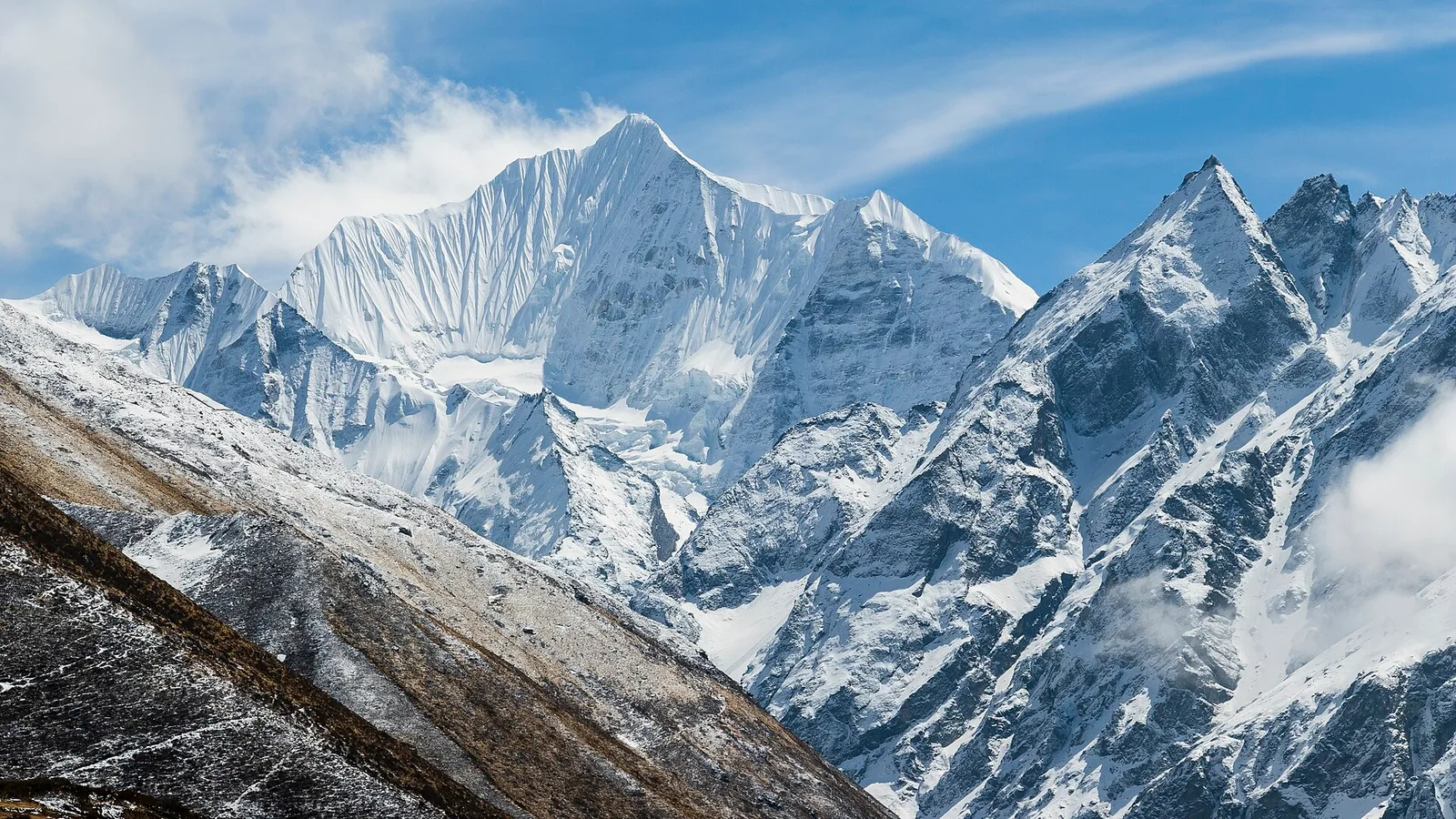
The Langtang trekking route attracts visitors with views of the Himalayas, including Langtang Lirung. Trekkers can also explore forests, glaciers, high-altitude lakes, and traditional Tamang villages.
One of its best-known routes is the Langtang Valley Trek. The trail usually starts in Syabrubesi and continues through Bamboo, Lama Hotel, Ghora Tabela, and Langtang before reaching Kyanjin at around 3,800 meters above sea level.
The region also features Gosaikunda, a sacred lake located at around 4,380 meters. Another route, the Tamang Heritage Trail, takes visitors through traditional Tamang communities.
The floods have now disrupted tourism and access to several trekking routes. Rescue teams continue to search affected areas and evacuate people.
Al Jazeera reported that around 644 tourists remain missing or unreachable, including 517 foreign visitors and 127 local tourists.
The disaster has also caused widespread damage across the region. Authorities continue rescue and recovery operations as they assess the full impact on local communities and tourism.